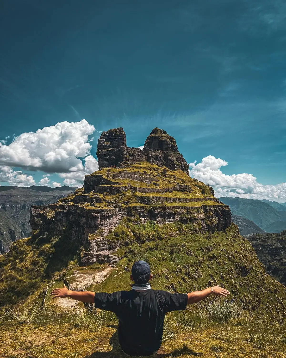
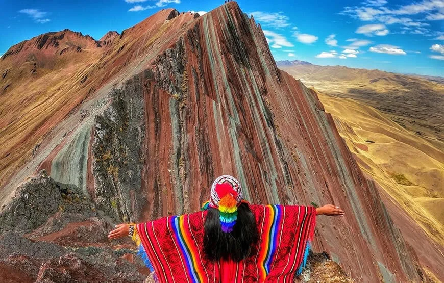
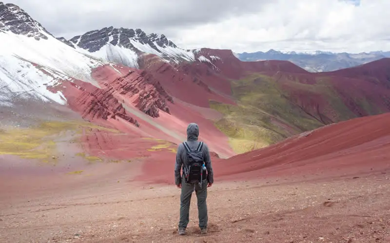
The Inca Trail to Machu Picchu is one of the world’s most iconic trekking routes, combining breathtaking Andean landscapes, ancient stone pathways, cloud forests, and legendary archaeological sites. Understanding the Inca Trail map is essential for travelers planning this unforgettable journey through the heart of the Machu Picchu region of Peru.
This detailed guide breaks down the classic Inca Trail route, major checkpoints, elevation challenges, and what makes this hike one of the most searched trekking experiences in South America.
Overview of the Inca Trail Route
The classic Inca Trail trek begins in the Sacred Valley near Cusco and ends at the Sun Gate overlooking Machu Picchu.
Key Route Summary:
- Starting Point: Km 82 (Piscacucho)
- Ending Point: Machu Picchu Sun Gate (Inti Punku)
- Total Distance: ~42 km (26 miles)
- Duration: 4 days / 3 nights (standard trek)
The trail passes through diverse ecosystems, from dry mountain valleys to misty cloud forests.
Day-by-Day Inca Trail Map Breakdown
Understanding the route step-by-step helps you visualize the journey and prepare physically and mentally.
Day 1: Km 82 to Wayllabamba
- Gentle introduction to the trail
- Walk along the Urubamba River
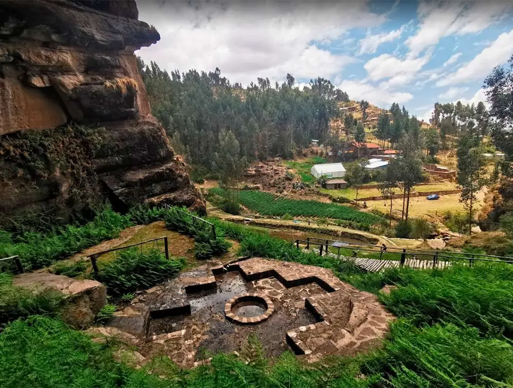
- First archaeological sites like Llactapata
- Moderate altitude gain
This section is ideal for warming up and adjusting to altitude.
Day 2: Wayllabamba to Pacaymayo (Dead Woman’s Pass)
- Most challenging day of the trek
- Ascend to Warmiwañusca (Dead Woman’s Pass)
- Elevation: ~4,215 meters (13,828 ft)
- Steep climbs and high-altitude terrain
This is the highest point of the entire Inca Trail map and tests endurance and stamina.
Day 3: Pacaymayo to Wiñay Wayna
- Longest day in terms of archaeological exploration
- Visit multiple ruins:
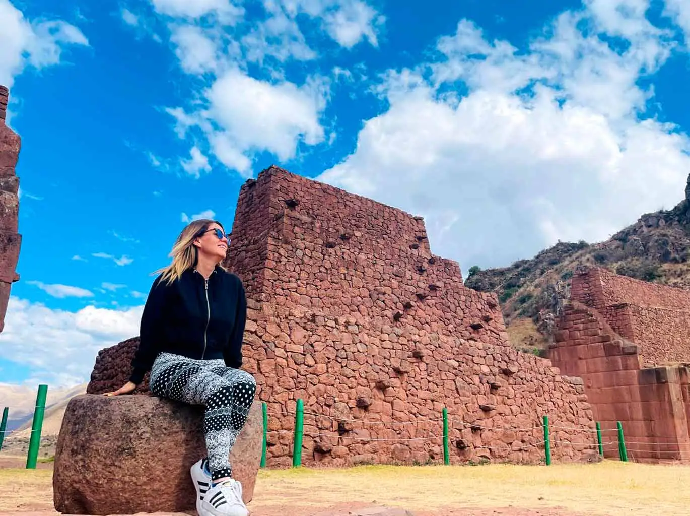
- Runkurakay
- Sayacmarca
- Phuyupatamarca
- Enter lush cloud forest zones
This section is often considered the most scenic part of the trek.
Day 4: Wiñay Wayna to Machu Picchu (Sun Gate Entry)
- Early morning hike to Inti Punku (Sun Gate)
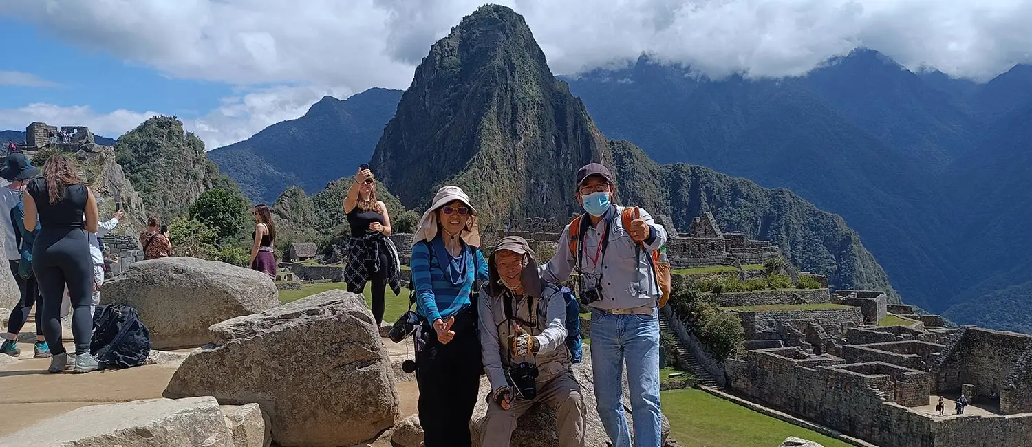
- First panoramic view of Machu Picchu
- Final descent into the citadel
This is the most emotional and rewarding moment of the entire journey.
Key Points on the Inca Trail Map
When studying the Inca Trail map, these landmarks are essential:
Dead Woman’s Pass
- Highest and most demanding section
- Requires strong endurance and acclimatization
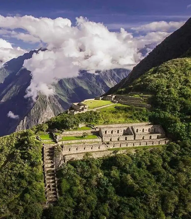
Wiñay Wayna
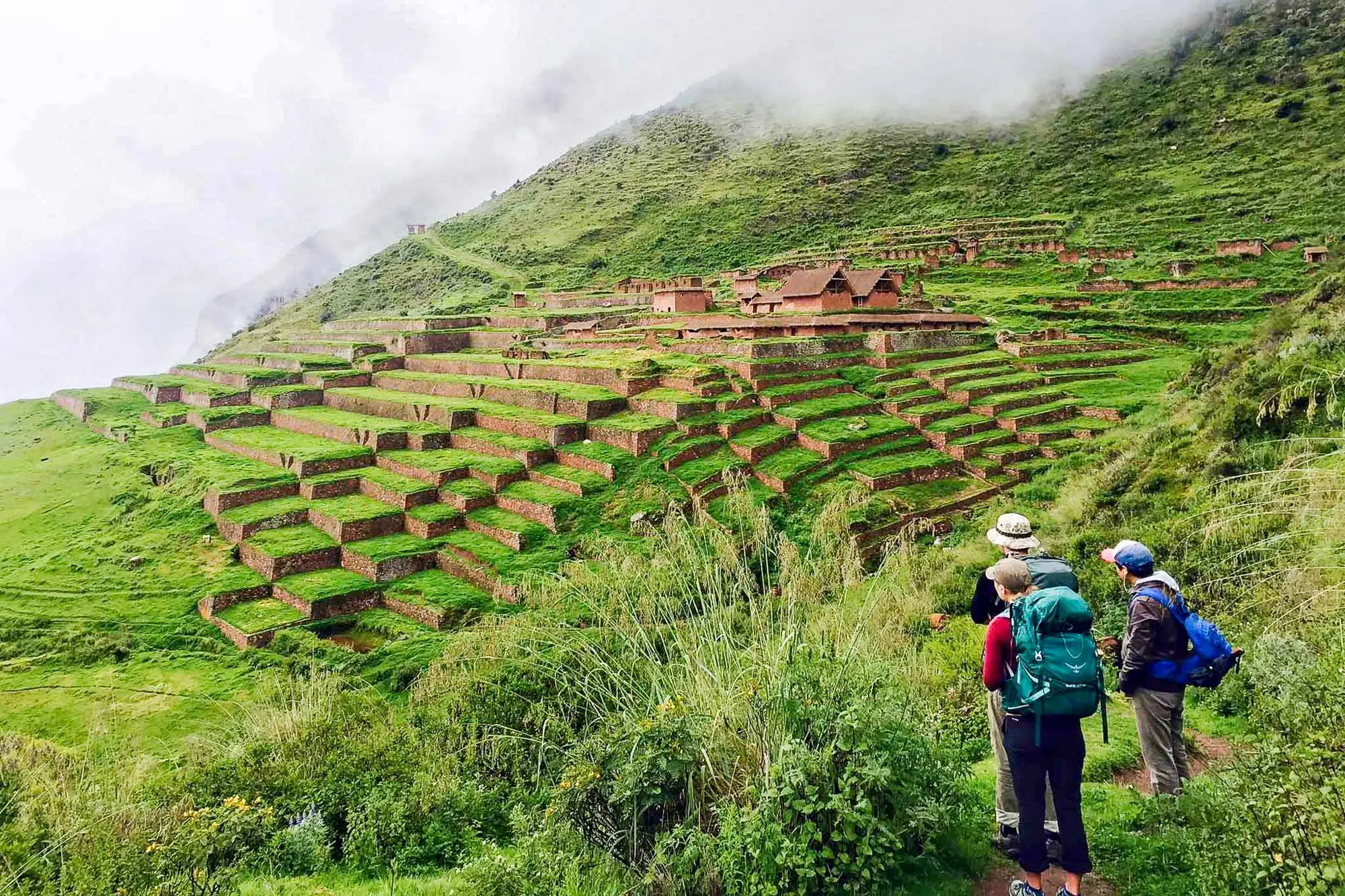
- Stunning terraced ruins
- Final campsite before Machu Picchu
Cloud Forest Zone
- Rich biodiversity
- Orchids, moss-covered stones, and misty landscapes
Sun Gate (Inti Punku)
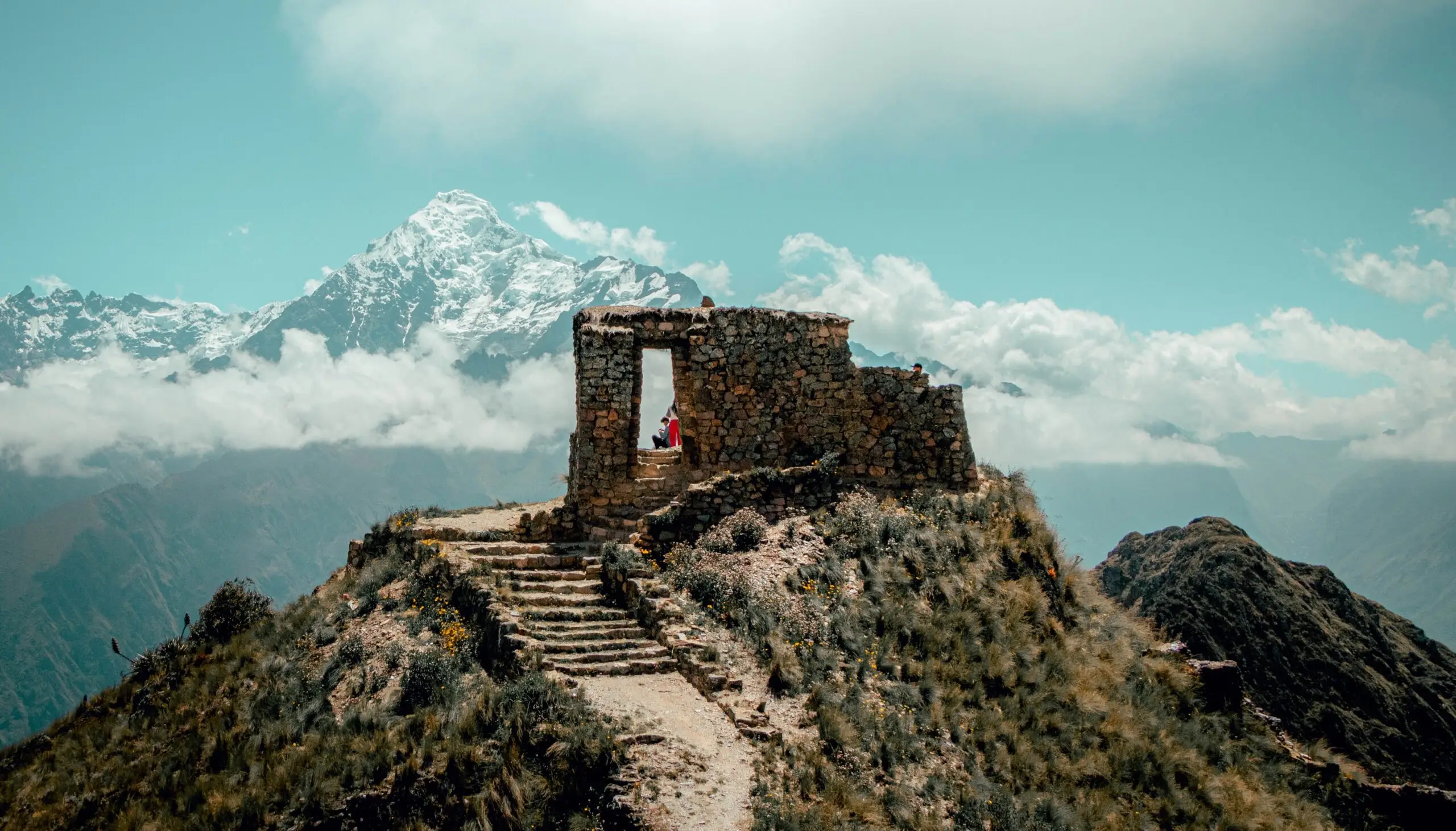
- First official viewpoint of Machu Picchu
- Iconic sunrise photography spot
Difficulty Level & Preparation Tips
The Inca Trail is considered a moderate to challenging trek, depending on fitness and altitude adaptation.
Important preparation tips:
- Acclimatize in Cusco for at least 2–3 days
- Train with uphill hiking before the trip
- Carry lightweight trekking gear
- Stay hydrated throughout the trek
- Book permits in advance (limited daily access)
Why the Inca Trail Is So Popular
Travelers choose this route because it is not just a hike—it is a journey through Inca history, culture, and engineering brilliance.
Benefits include:
- Authentic stone-paved Inca pathways
- Access to remote archaeological sites
- Guided cultural storytelling
- Direct entry into Machu Picchu via the Sun Gate
Final Thoughts
The Inca Trail map is more than a route—it is a blueprint of ancient civilization, leading travelers through mountains, ruins, and cloud forests toward one of the world’s greatest wonders. From Km 82 to the Sun Gate, every step reveals the legacy of the Inca Empire and the breathtaking beauty of the Andes.
For guided tours, permits, and professional trekking packages on the Inca Trail to Machu Picchu, visit:
https://inkaexpeditions.com/